Cayman: Tide Gauge Stations installed to measure tide levels
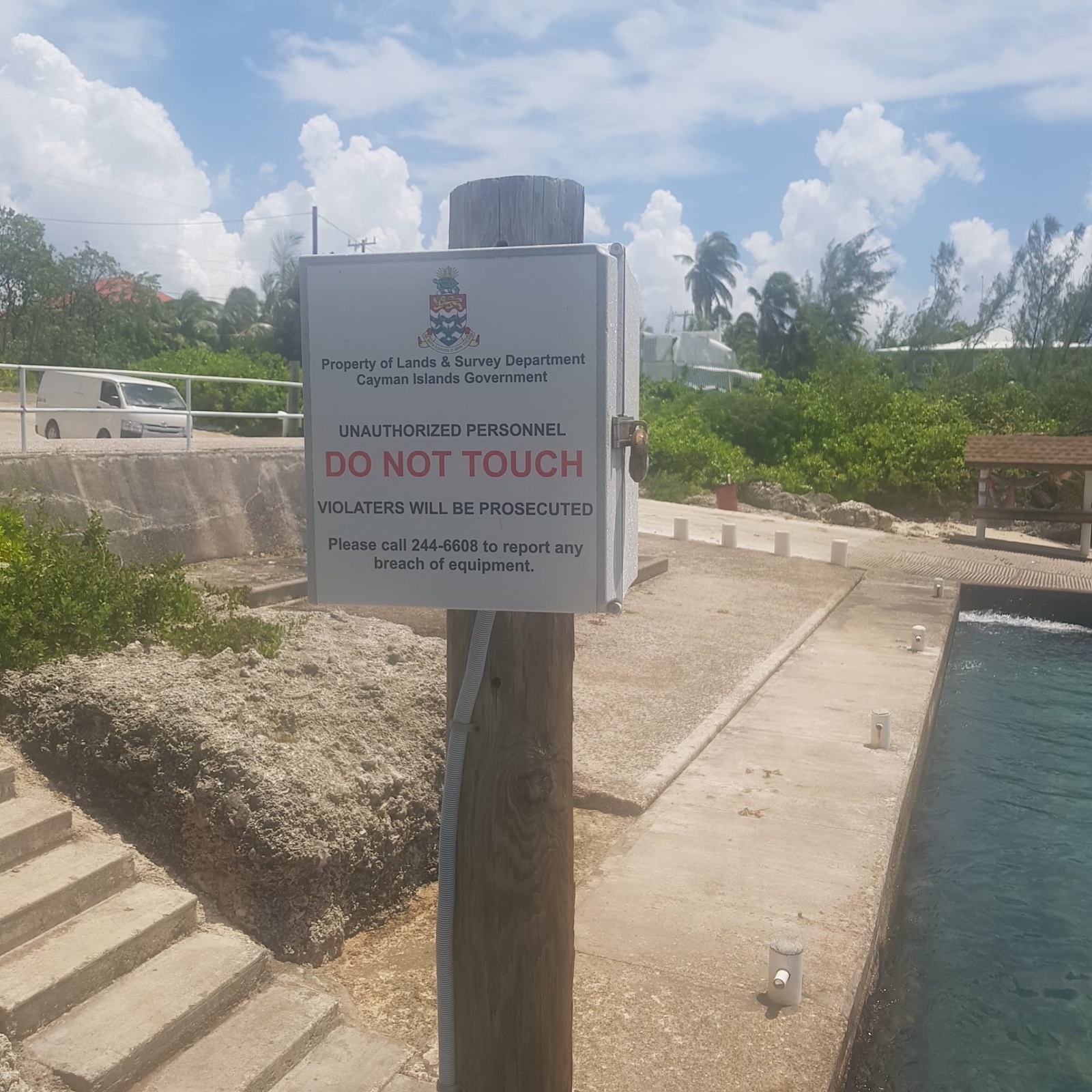
Public asked not to ‘tamper’ with the equipment and invalidate the data collected.

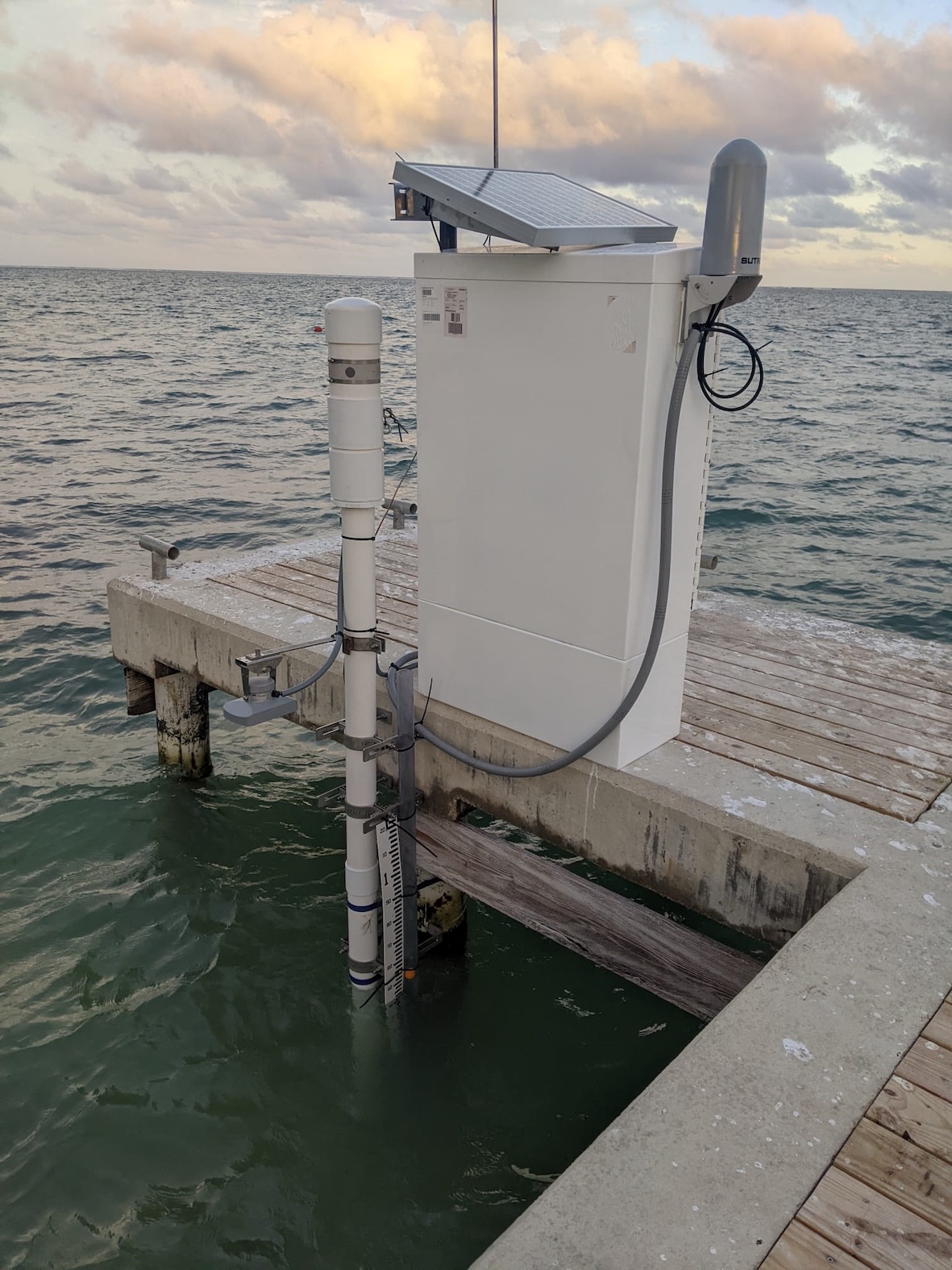
Grand Cayman, Cayman Islands: The Ministry of District Administration and Lands advises that four tide-gauge stations have been installed at Gun Bay Public Dock in East End, Royal Watler Cruise Terminal in George Town, Customs Dock in Cayman Brac and at Bloody Bay Dock in Little Cayman. Funded by the UK Government, the data collected will record tide levels to update the accuracy of tidal predictions for a particular area. The public is asked not to touch or tamper with the equipment in any way.
Commenting on the importance of the tide gauges, Minister for Sustainability and Climate Resiliency and Premier G. Wayne Panton explained, “The global sea level record from tide gauges is an important indicator of the evolution and impact of climate change. The data collected locally from these gauges will provide significant information to the Cayman Islands Government that will inform our risk mitigation measures, as we build a resilient infrastructure for our islands.
The gauges have two sensors, one being a “float” in a tube that goes up and down with the water level. The other sensor is a radar gauge measuring height of the water from the sensor. The gauge will be surveyed into the local land datum to enable understanding of its precise location (latitude, longitude and height).
“Investments such as these are very valuable and important for improving our way of life. I strongly urge members of our community, not to tamper with these tide gauges and risk invalidating potential data which will support the prosperity of our Islands,” encouraged Minister for Lands, Honourable Julianna O’Connor-Connolly.
The collected data from the tide gauges shall be used to better understand:
- Vessel navigation within the waters to understand where and when they can transit certain areas or enter a port safely;
- Port and harbour operations, dredging, surveying etc;
- Sea level change over time to understand climate change impact;
- Impact on tides during extreme weather events such as high/low barometric pressure, storm surges;
- Influence of tides on coastal ecosystems;
- Improvement of links between vertical reference frames;
- Reduction of seabed mapping data to define datum
Minister O’Connor-Connolly further explained, “The data provided by the tide gauges will not only improve navigational safety but feed into a great understanding of tides within the wider Caribbean region.”

The Department of Lands and Survey has also advised their intent to provide the data into the International Oceanographic Commissions Global Sea Level Observing System, which supports a wide range of data use and feeds into the Intergovernmental Coordination Group for the Tsunami and Other Coastal Hazards Warning System for the Caribbean and Adjacent Regions (ICG/CARIBE-EWS).
For more info on the Ministry of District Administration and Lands: visit www.gov.ky/lands


