Cayman Weekend Weather Update as of 4:00pm Fri July 5
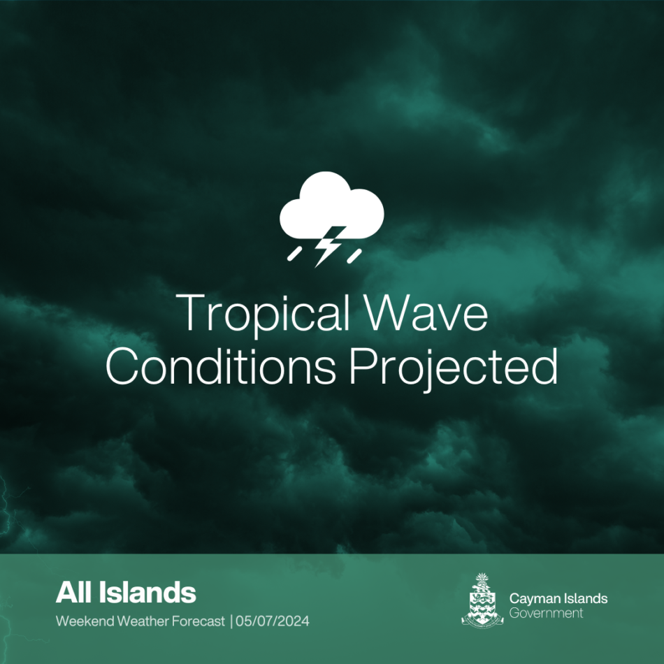
Grand Cayman, 05 July 2024: As The Cayman Islands National Weather Service is closely monitoring a tropical wave, previously identified as Disturbance AL96, currently positioned over the central Caribbean Sea. This system is advancing westward at approximately 15-20 knots and is generating disorganised showers and thunderstorms.
Accompanied by fresh east to southeast winds, it poses a risk of localised heavy rainfall that could lead to flooding in low-lying areas.
Rainfall estimates for the coming days are as follows: In Grand Cayman, expect approximately 0.6 to 0.8 inches on Saturday, 0.6 to 1.5 inches on Sunday, and less than 0.2 inches on Monday.The Sister Islands will see slightly less precipitation, with approximately 0.4 to 0.6 inches on Saturday, 0.5 to 0.8 inches on Sunday, and less than 0.2 inches on Monday.
Mariners should note that seas up to 7 feet are expected both ahead of and behind the wave, significantly affecting marine activities.
3-Day Weather Outlook:
- Saturday to Sunday (6-7 July): Cloudy with occasional thunder showers (40% chance). Rainfall estimates for Grand Cayman are approximately 0.6 to 1.5 inches, with the Sister Islands expecting 0.4 to 0.8 inches. Winds SE 10-15 knots. Seas moderate, waves 3-5 feet. Temperatures will be steady, with highs of 86°F and lows of 76°F
- Monday (8 July): Intermittent cloudy spells and showers (40% chance), with rainfall less than 0.2 inches for both Grand Cayman and the Sister Islands. Becoming windier with winds NE 20-25 knots, and higher gusts. Rough seas with waves 4-6 feet. Temperatures rise to 90°F, dipping to 78°F overnight.
Small crafts should exercise caution on Sunday and Monday.
Expected Impacts from the Tropical Wave:
- Rainfall: Expect scattered showers and occasional thunderstorms, with a 40% chance of rainfall on both Saturday and Sunday, potentially leading to localized flooding in low-lying areas. Higher than normal tides will increase this potential.
- Wind: Southeast winds at 10-15 knots over the weekend will shift to stronger northeast winds at 20-25 knots with higher gusts on Monday, affecting lightweight and unsecured objects.
- Seas: Moderate sea conditions with wave heights of 3-5 feet during the weekend will become rough, with wave heights increasing to 4-6 feet on Monday. Small craft warning in effect Sunday and Monday.
The community is asked to stay tuned to official government channels for the latest updates to avoid misinformation.
The National Weather Service releases multiple daily forecasts, at 6am, 10am and 4pm respectively.
For additional weather information:
- Website: www.weather.gov.ky
- Facebook: https://www.facebook.com/cinws
- Weather Radio: 107.9 FM
- WhatsApp: https://whatsapp.com/channel/0029Vadriki8vd1RuPQvhY0M
END