Talking the Tropics
Talking the Tropics With Mike: Lots of Saharan dust all the way to the Caribbean
By Michael Buresh From Action News JAX CBS47 FOX30

August is often the beginning of the more active part of the Atlantic hurricane season. The third named storm is usually “on the map” by Aug. 13… the 4th by Aug. 23 & the 5th by Aug. 31 (43 years of data). Always be prepared!
ATLANTIC BASIN:
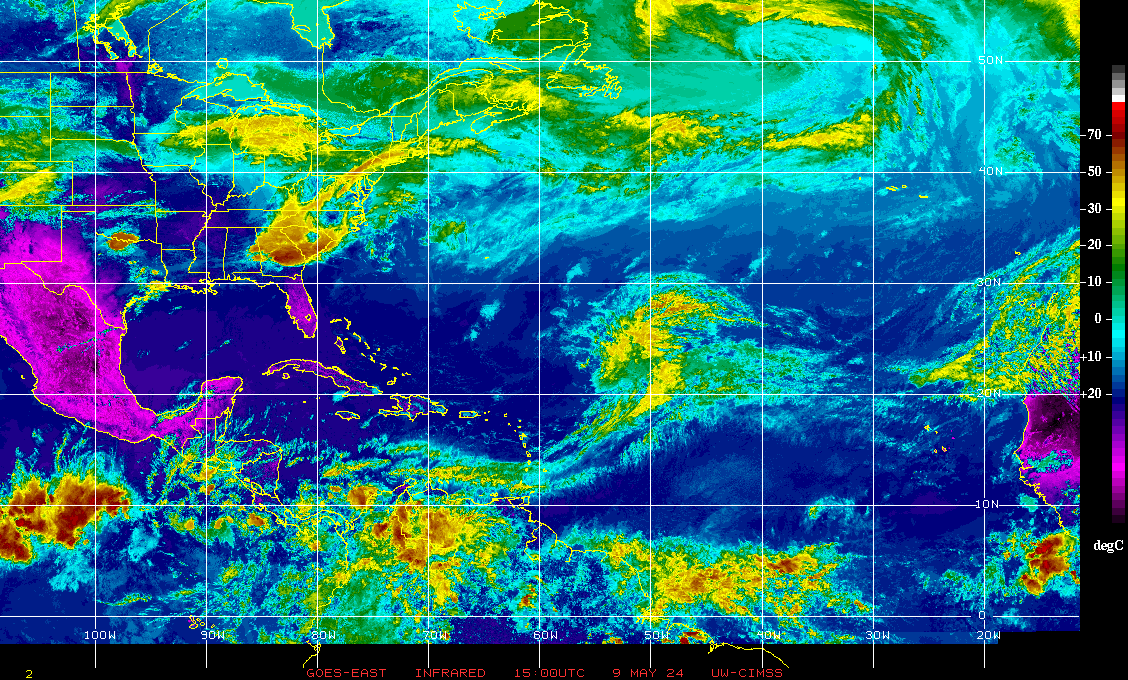
There’s a parade of weak rather low latitude tropical waves from South America to Africa but nothing that looks to be developing anytime soon. In fact, there’s a remarkable lack of even cloudiness from the Caribbean through the Central Atlantic.
Forecast models have been “toying” with low pressure developing along the Gulf Coast late this week into the weekend. But current indications are that this low pressure area would be in a marginal environment – shear, nearby dry air + proximity to land (possibly over land) – for much in the way of significant development. There will be an uptick in heavy rain & storms along the Gulf Coast & I-10 corridor from Mobile to Jacksonville.
Meanwhile… the Pacific is more active but not remarkably so. Tropical storm Krosa will have some impact on Japan this week… & tropical storm Henriette is dissipating well southwest of the Baja of California.


An examination of dust over the Central & Eastern Atlantic shows an expansive area of dust/dry air over the Eastern & Central Atlantic extending into the Caribbean. While such dry air can inhibit tropical development initially, once the wave is farther west or if the wave can stay a little south & out of the dust “cloud” – & IF all other conditions are equal – organization/strengthening can occur. The 2005 hurricane season stands out as a “dusty” Eastern Atlantic but disturbances simply waited to get out of the dust – further to the west – to develop & then “make history”.

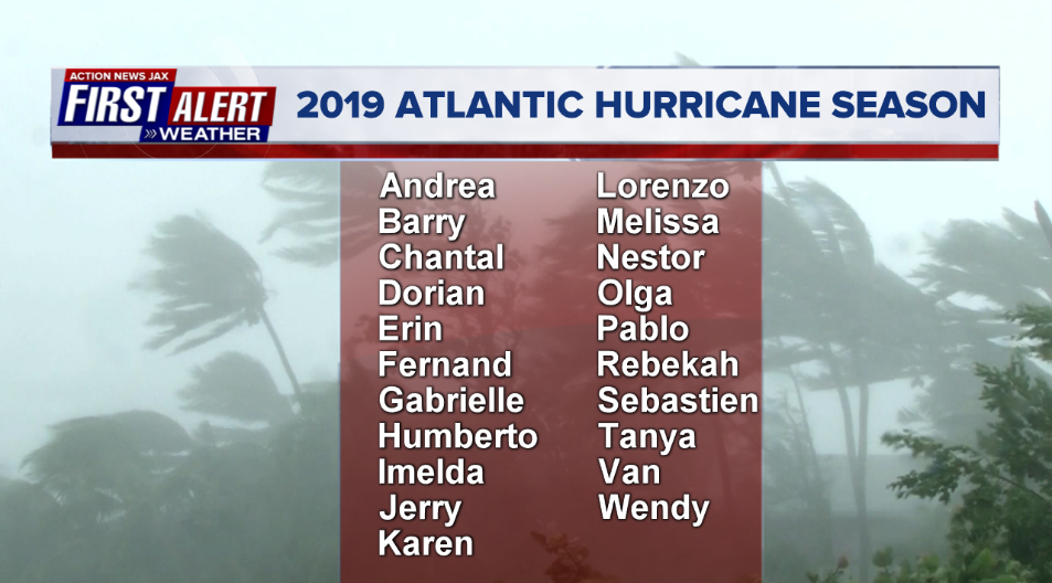
2019 names….. “Chantal” is next on the Atlantic list (names are picked at random… repeat every 6 years… historic storms are retired (Florence & Michael last year):

It was 15 years ago that the Atlantic Basin suddenly came awake in what had been a quiet season so far. An El Nino abruptly collapsed midseason…. the first named storm occurred near the Carolina coast early in Aug. followed by tropical storm Bonnie that hit the Panhandle on Aug. 12 dropping an EF-2 tornado on Jacksonville’s NW side followed the next day by powerful Cat. 4 Charley in SW Fl. at Port Charlotte then Frances, Jeanne & Ivan – all major hurricanes that hit Fl. with Frances & Jeanne having profound effects on Jacksonville/NE Fl. & SE Ga.


Atlantic Basin today:


East Atlantic:


p>Mid & upper level wind shear (enemy of tropical cyclones) analysis (CIMMS). The red lines indicate strong shear of which there is plenty across the Atlantic at the moment:
The Atlantic Basin:

Water vapor imagery (dark blue indicates dry air):

Deep oceanic heat content:

Sea surface temp. anomalies show some “cool” water remaining over the E. & N. Atlantic but avg. to above avg. temps. for much of the rest of the Atlantic Basin…..

SE U.S. surface map:

Surface analysis centered on the tropical Atlantic:

Surface analysis of the Gulf:

Caribbean:

For more on this story go to: https://www.actionnewsjax.com/weather/talking-tropics/talking-the-tropics-with-mike-lots-of-saharan-dust-all-the-way-to-the-caribbean/975537563


