Tropical depression forms in Atlantic and forecast to enter Caribbean Sea – UPDATED – Now TS Gonzol


From Weather.com
At a Glance
- A disturbance between Africa and the Lesser Antilles has become the latest Atlantic tropical system.
- It is forecast to strengthen in the next few days east of the Windward Islands.
- It will head toward the Windward Islands this weekend.
- Its intensity forecast, however, is very uncertain.
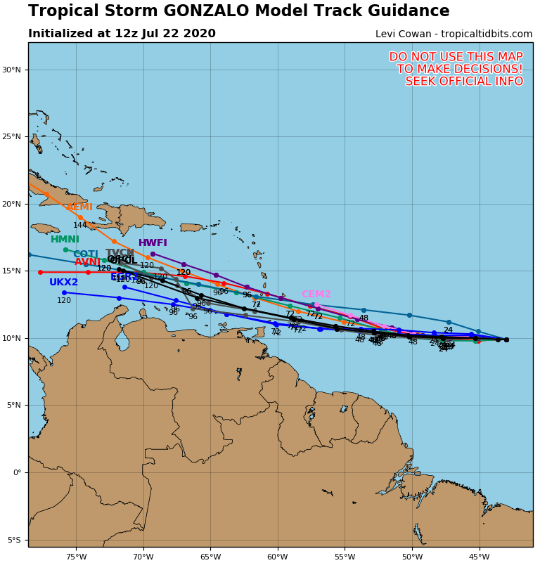
Tropical Depression Seven has formed over the Atlantic Ocean between Africa and the Lesser Antilles and may impact parts of the Windward Islands this weekend.
This newly formed system is currently about halfway between the coast of west Africa and the Windward Islands, well over 1000 miles east of the southern Windward Islands, moving west-northwest.
The NHC forecasts this system to gain strength over the next few days.
However, its tiny size and environment around it pose major forecast challenges for its intensity.

Dry air is currently to the west and north of the system, which is one factor that can weaken and disrupt tropical cyclones.
While shearing winds are currently not near this system, it may encounter increased wind shear as it nears the Windward Islands this weekend.
These factors would argue for a weakening of the system by the time it nears the Windward Islands Saturday.
Small systems like this can intensify quickly in the right conditions, but they can also succumb to unfavorable conditions more quickly than a larger storm. In other words, they can strengthen and weaken much more and at a faster rate than expected.
So, the range of outcomes of the intensity is large, anywhere from a system dissipating east of the Windward Islands, to a possible hurricane.
Fortunately, the track forecast is a bit more straightforward. We expect a general west-northwest track into the Windward Islands by Saturday.
Interests in the Lesser Antilles, including areas as far south as Trinidad and Tobago, even the northern coast of Venezuela, should monitor the progress of this system closely.
First of the Main Development Region
This is the first tropical cyclone this season to form in the so-called “main development region” of the Atlantic Ocean between Africa and the Lesser Antilles.
It’s a sign we’re headed toward the prime months of the hurricane season, when tropical storms and hurricanes can form not just in the Gulf of Mexico, off the Southeast coast or western Caribbean Sea, but also in this main development region and take long tracks through the Atlantic Basin.

For more on this story go to: https://weather.com/storms/hurricane/news/2020-07-21-tropical-depression-seven-tropical-storm-gonzalo-lesser-antilles?cm_ven=hp-slot-2